OGC-CGI Geoscience Domain Working Group
Geoscience Domain Working Group
The Geoscience Domain Working Group (DWG) is a working group of the Open Geospatial Consortium (OGC) that is co-chaired by OGC and CGI. It aims to connect people to develop, improve and promote technologies for geoscience data description and sharing.
The DWG will:
- develop communications materials that focus on the technical problem area of geoscience data management and exchange
- engage members of the geospatial data community (including relevant OGC working groups) and the geoscience community
- conceive, design, coordinate and implement projects that demonstrate technical approaches to geoscience data management and exchange within the context of the OGC suite of technologies and other relevant emerging technologies
- as appropriate, serve as a forum for the development of specification profiles and application schemas for geoscience purposes
The DWG maintains an OGC mailing list (requires an OGC login) and is currently chaired by Mickaël Beaufils from BRGM. Read Mickaël’s presentation illustrating the linkages between CGI, OGC, and other related projects.
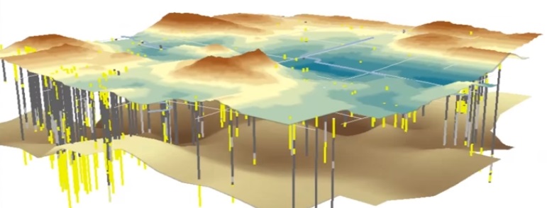
Borehole Interoperability Experiment
The Geoscience DWG is currently undertaking a Borehole Interoperability Experiment. This activity aims to clarify the commonalities between several existing data standards for describing a borehole, its associated data and their position along a borehole, including some OGC and CGI standards such as GroundwaterML and GeoSciML. These approaches are largely restricted to a specific borehole viewpoint (e.g. groundwater, petroleum, engineering). The IE aims to provide a semantic umbrella linked to the pre-existing work by distilling the core elements shared by all disciplines.
To join the Borehole Interoperability Experiment (with or without an OGC login), contact the project leader Sylvain Grellet (BRGM).